Route tracing the "Picture of Samani Kaisho"シャマニ会所絵図を巡る
Car / about 4 hours車で約4時間
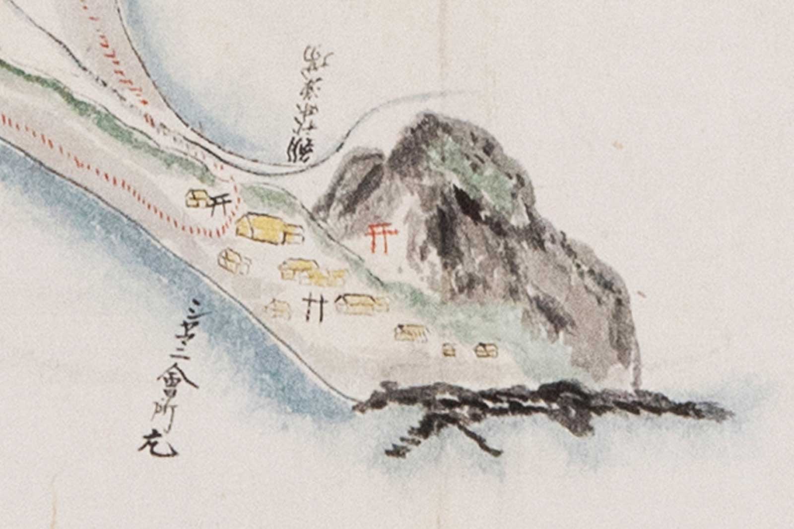
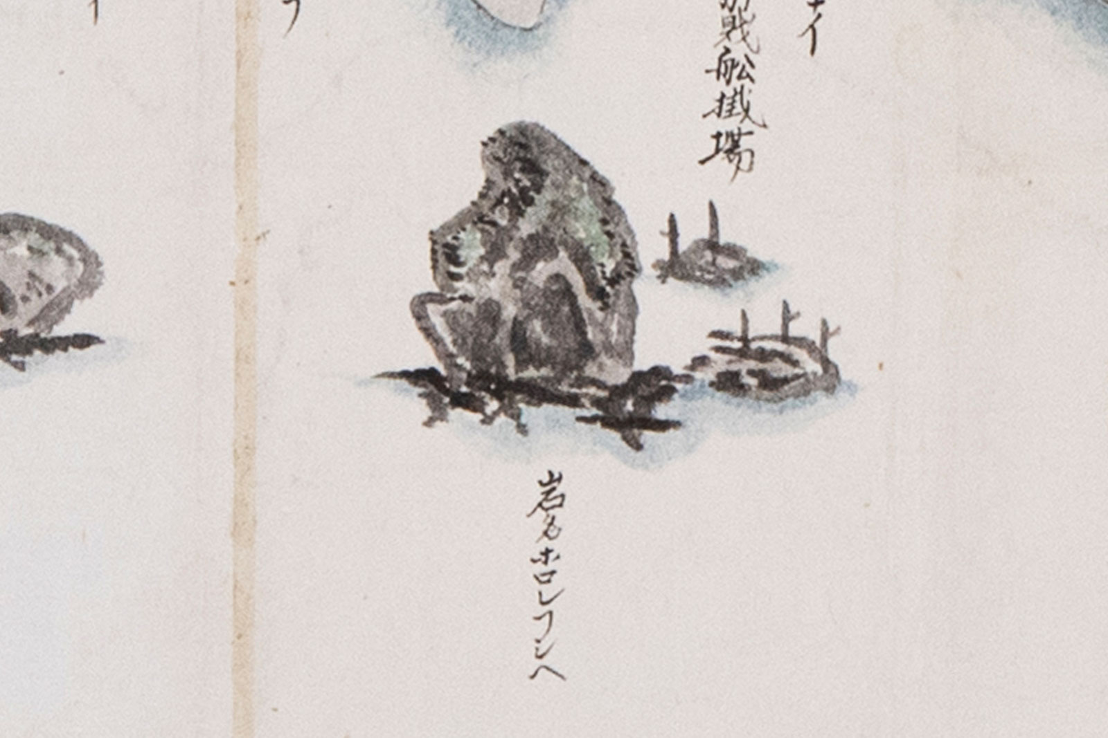
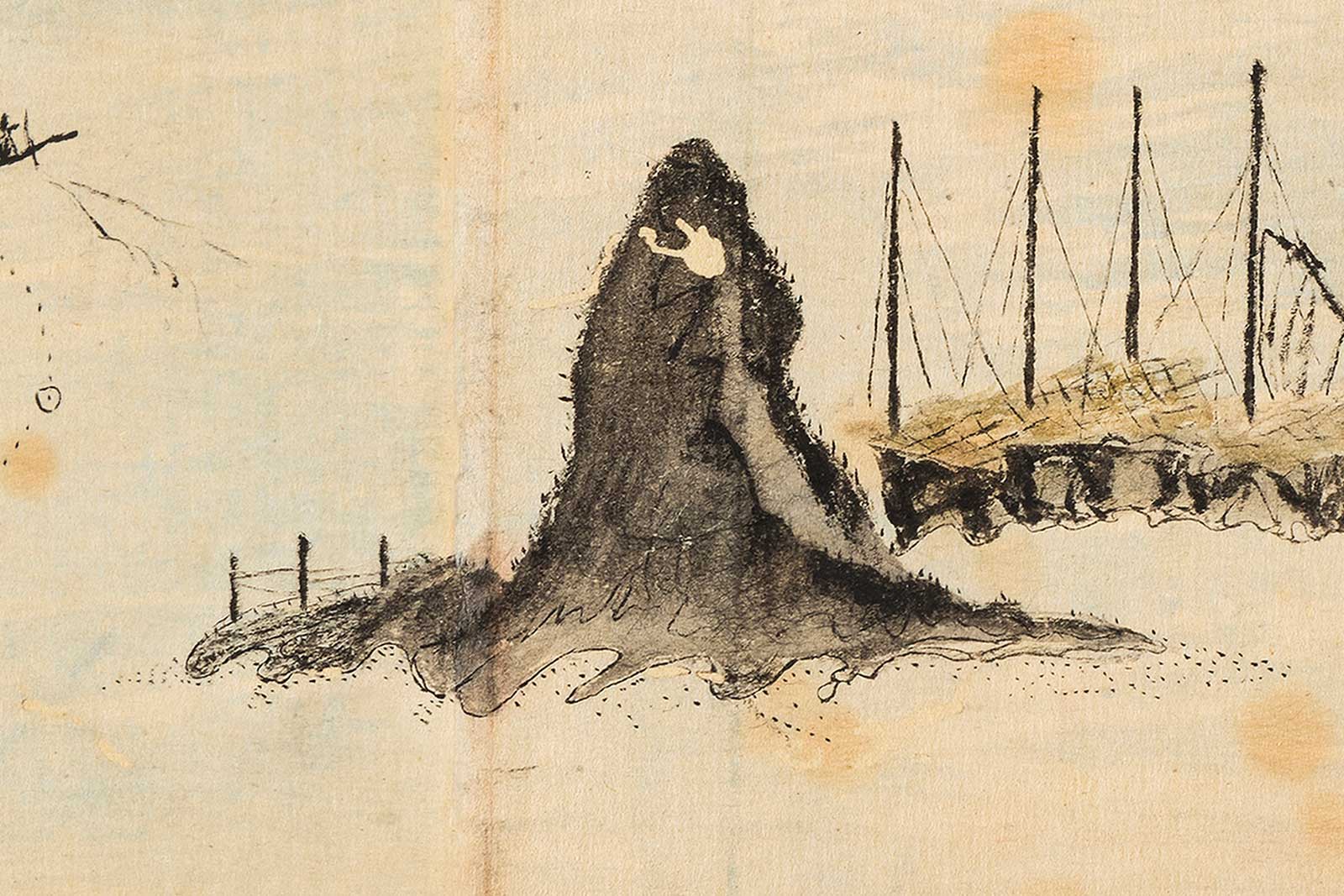
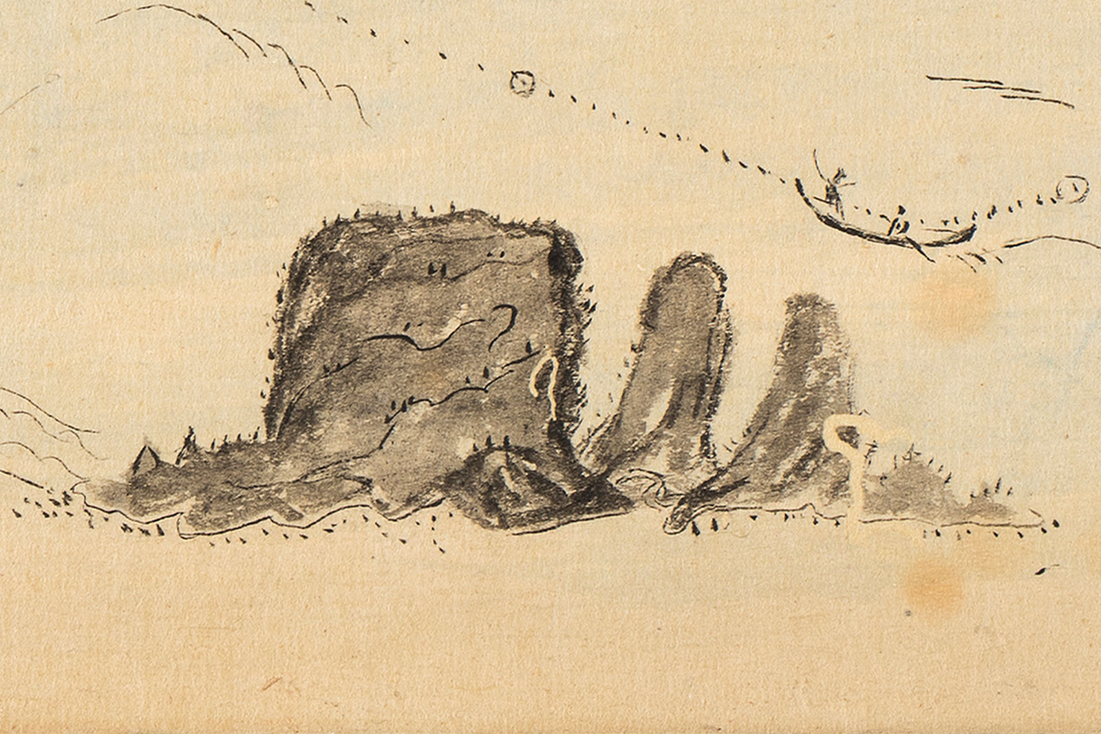
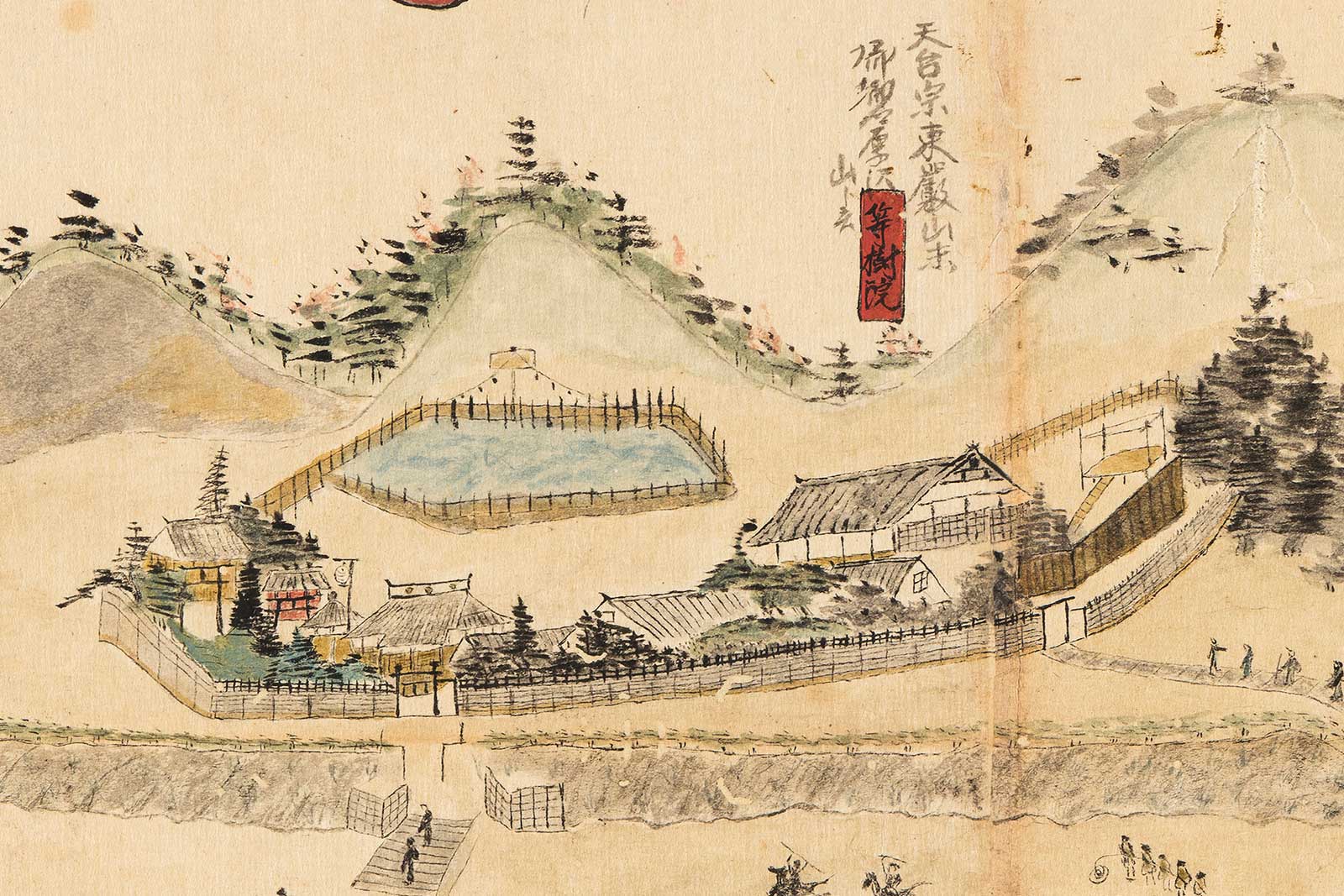
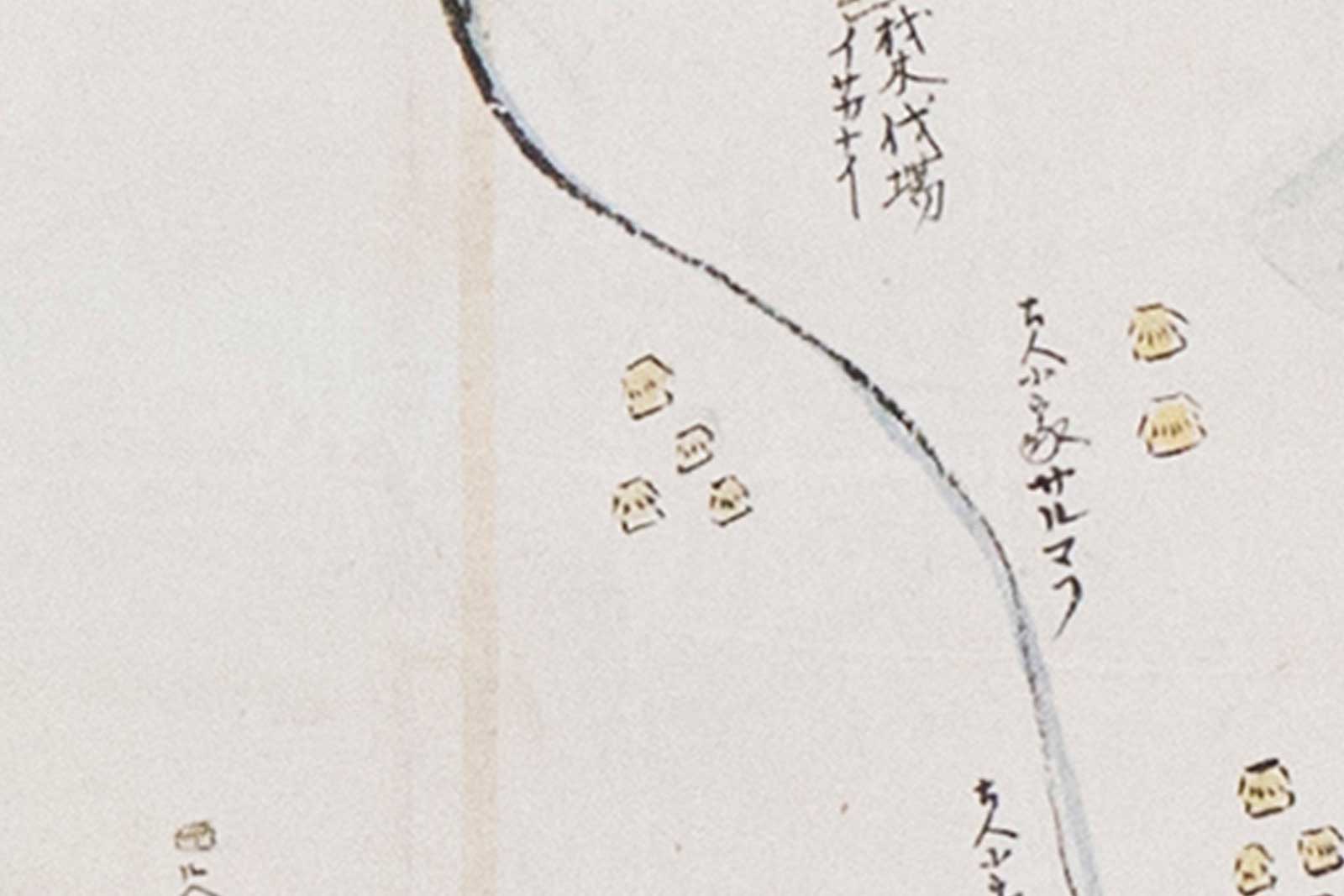
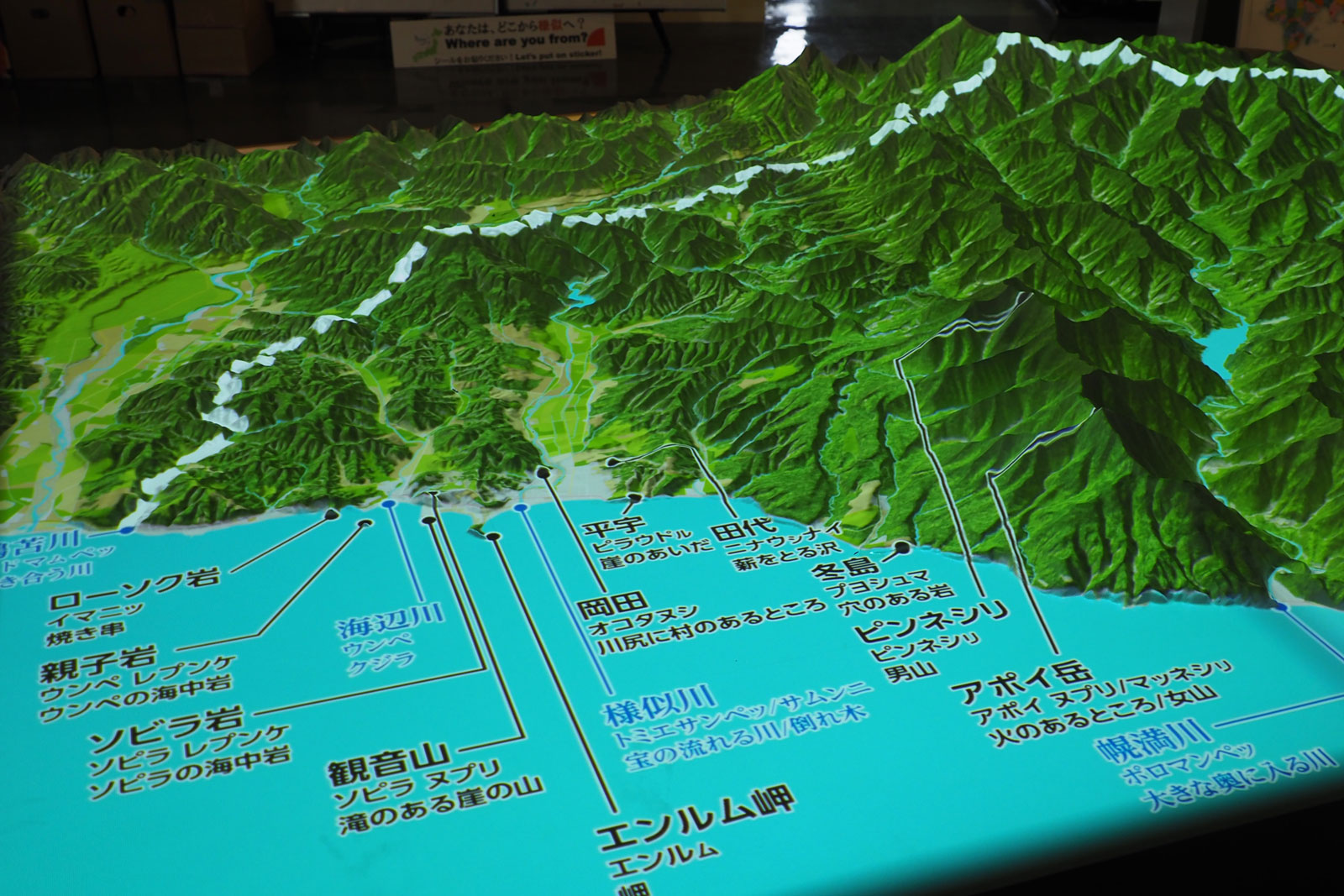
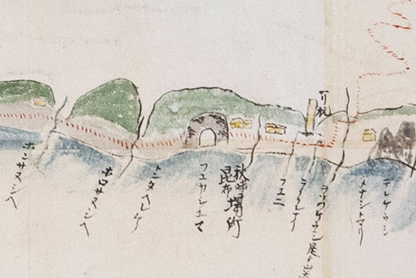
The "Picture of Samani Kaisho" depicts the topography of the coastline and distinctive shaped rocks, as well as features of the wider area such as Mt. Apoi and the Samani River. By car, you can travel around the world captured in the "Picture of Samani Kaisho" in one journey.
シャマニ会所絵図では海岸線の地形や特徴的な奇岩のほか、アポイ岳や、様似川などこの付近の広範囲が描かれています。
車を使って会所絵図の世界を一気に周遊してみましょう。

-
SAMANI Folk Museum 様似郷土館
-
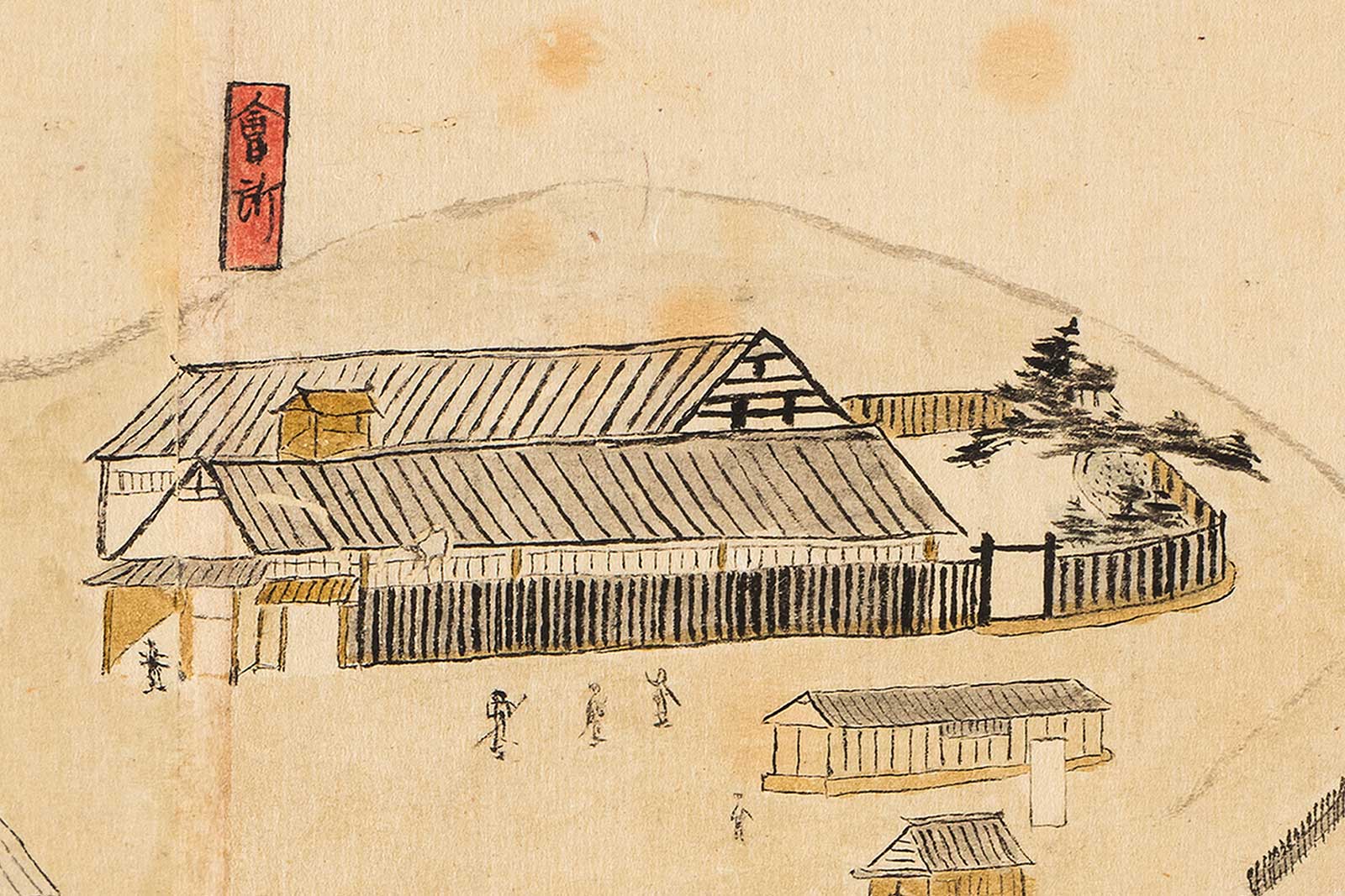
Former Site of the Kaisho (Shogunate Trade Office) 会所跡
-
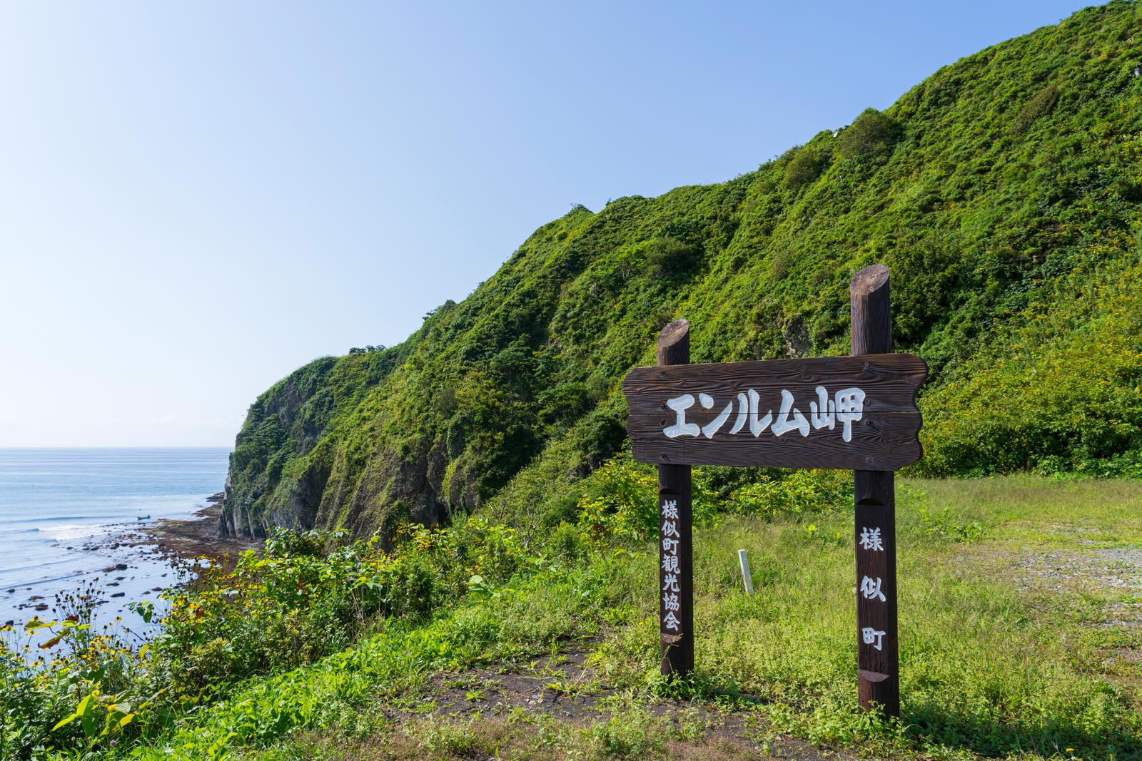
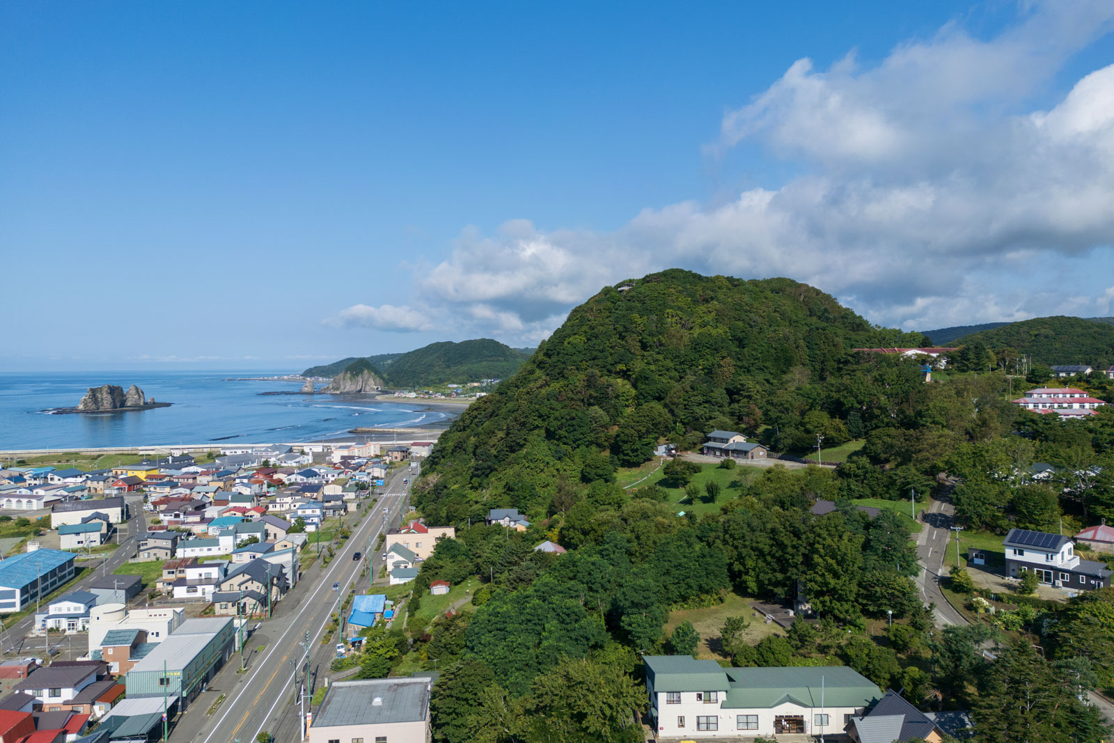
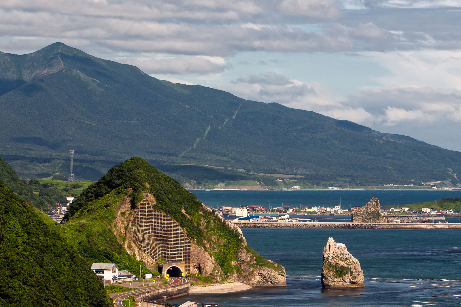
Enrumu-misaki (Cape Enrumu) エンルム岬
-
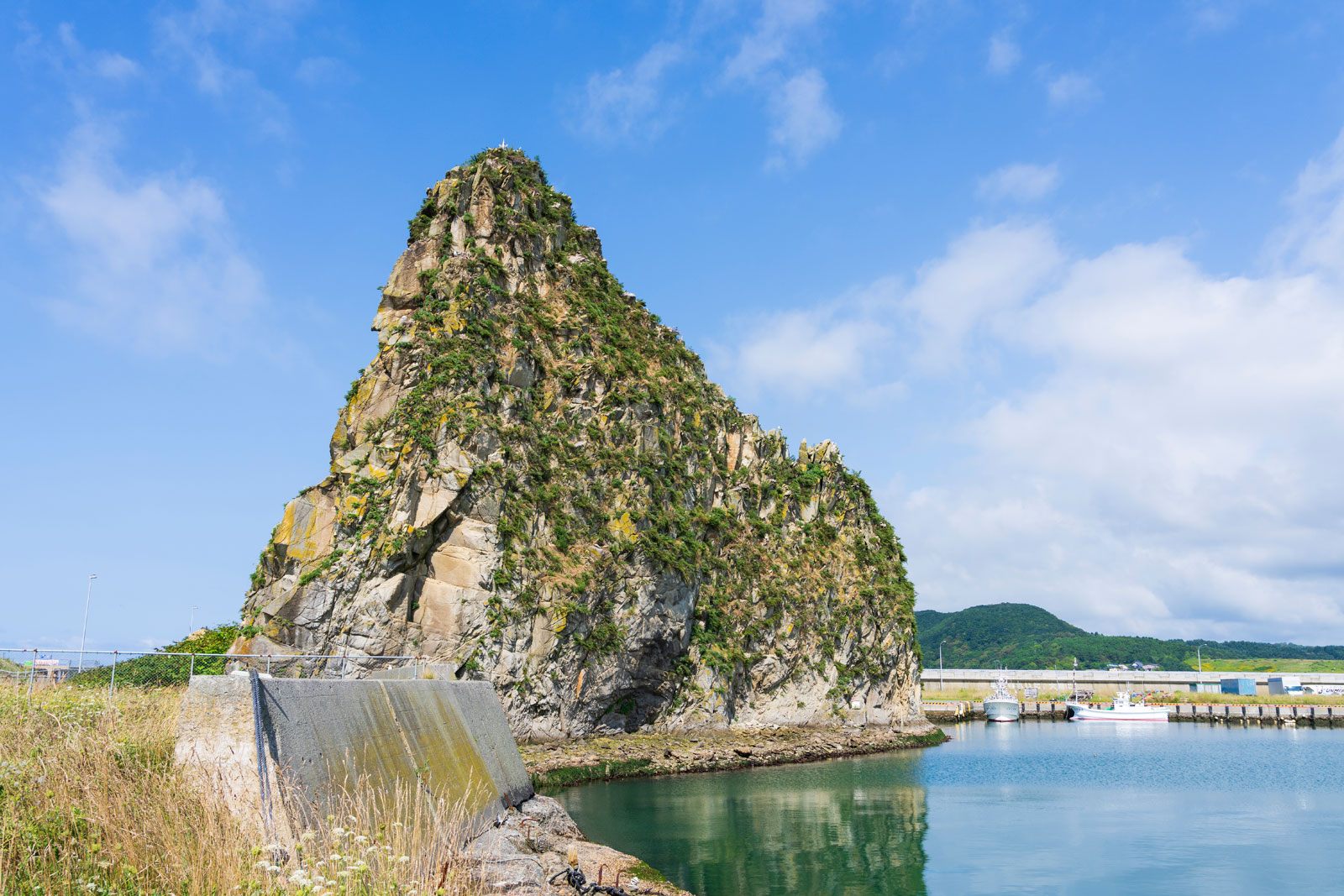
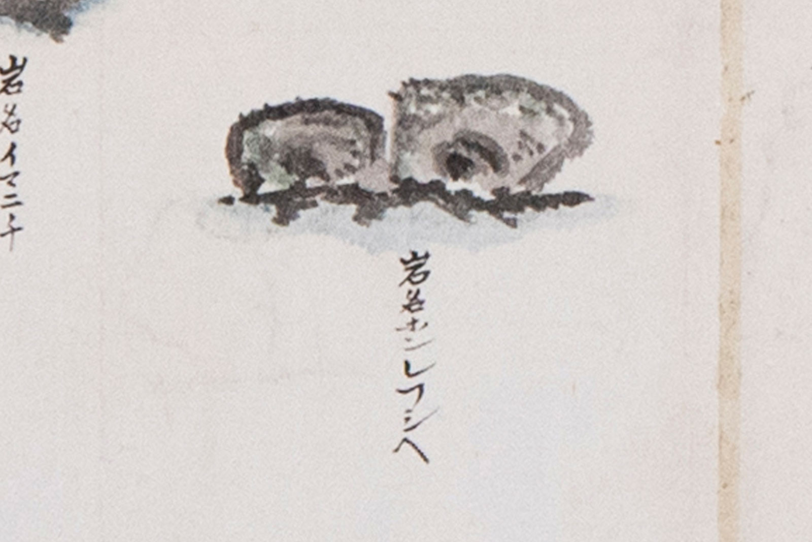
Sobira-iwa (Sobira Rock) ソビラ岩
-
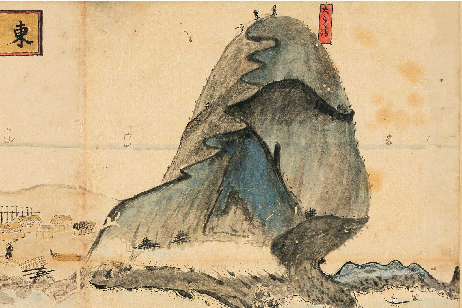
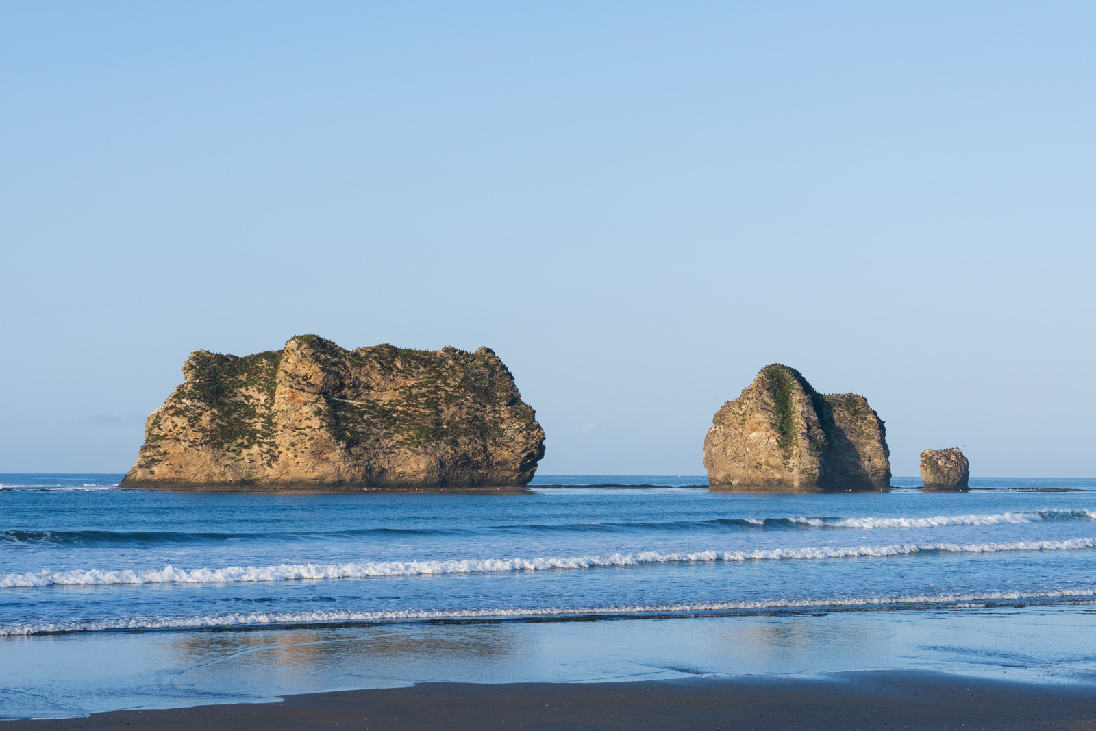
Oyako-iwa (Parent and Child Rocks) 親子岩
-
Hotahumpe, Nishi-machi 西町のホタフンペ
-
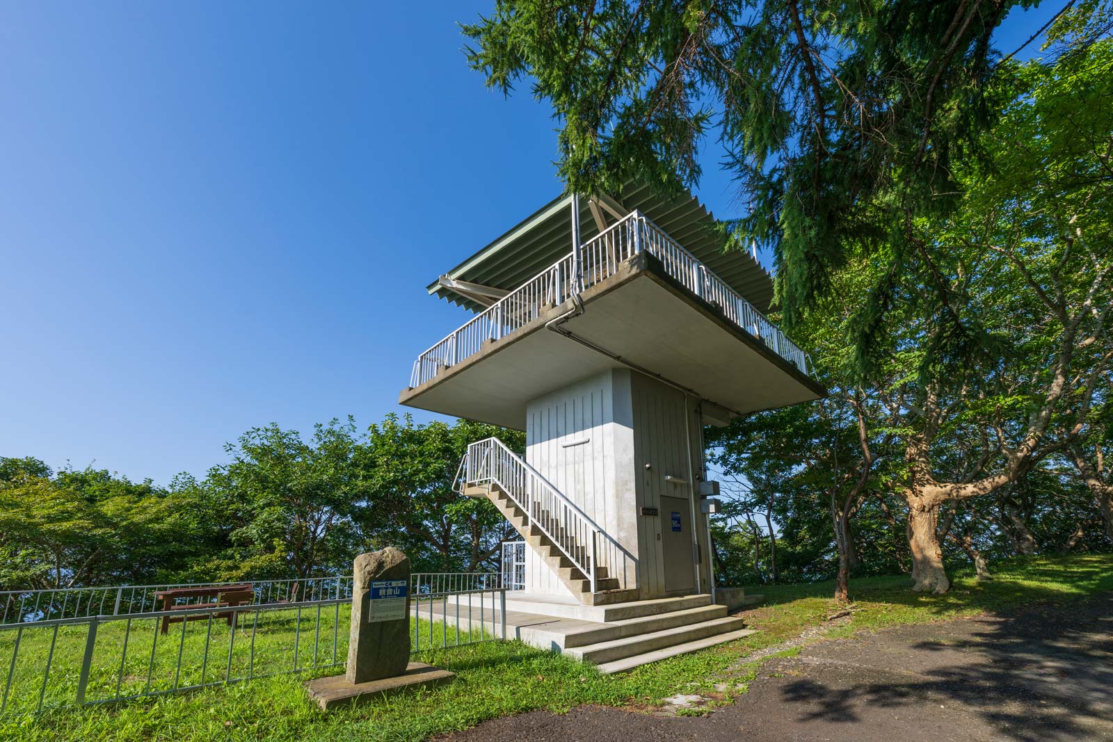
Mt. Kannon Observatory 観音山展望台
-
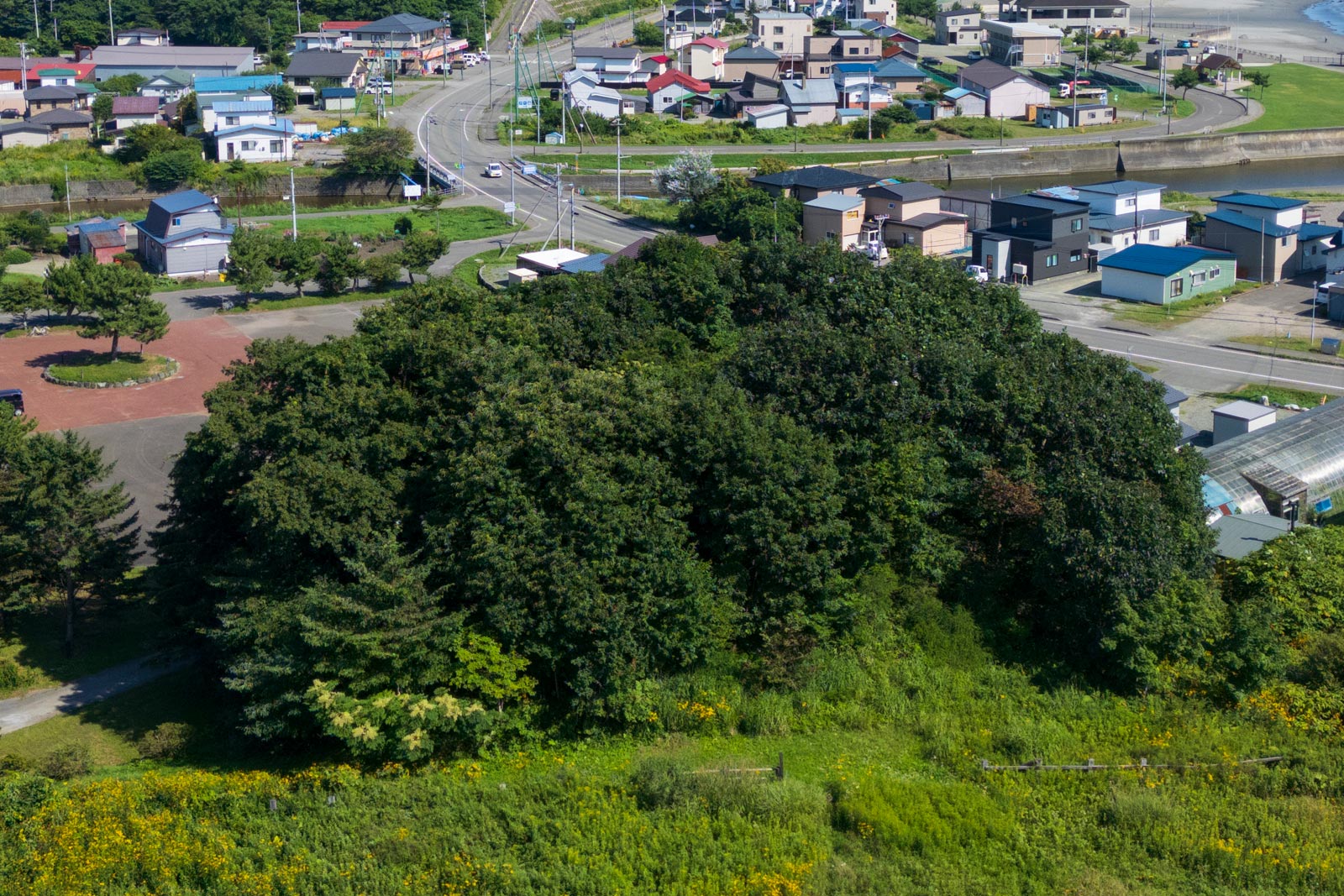
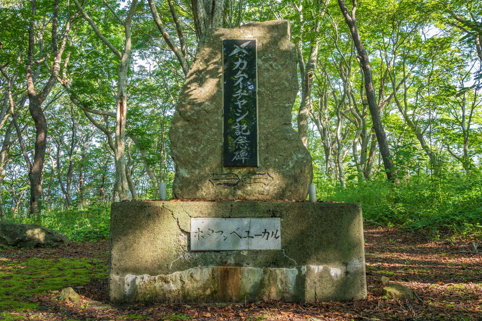
Ruins of Kamuycasi カムイチャシ跡
-
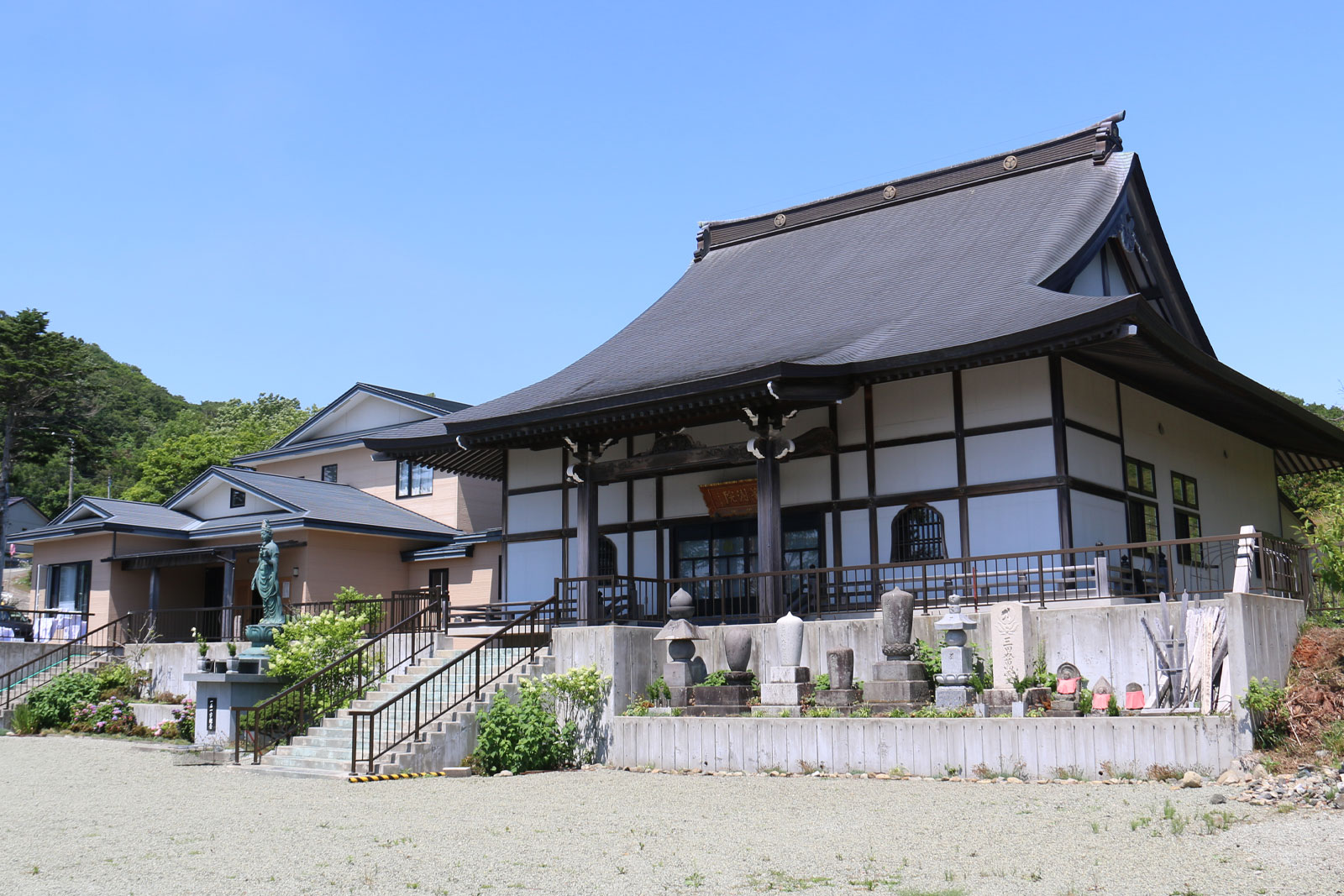
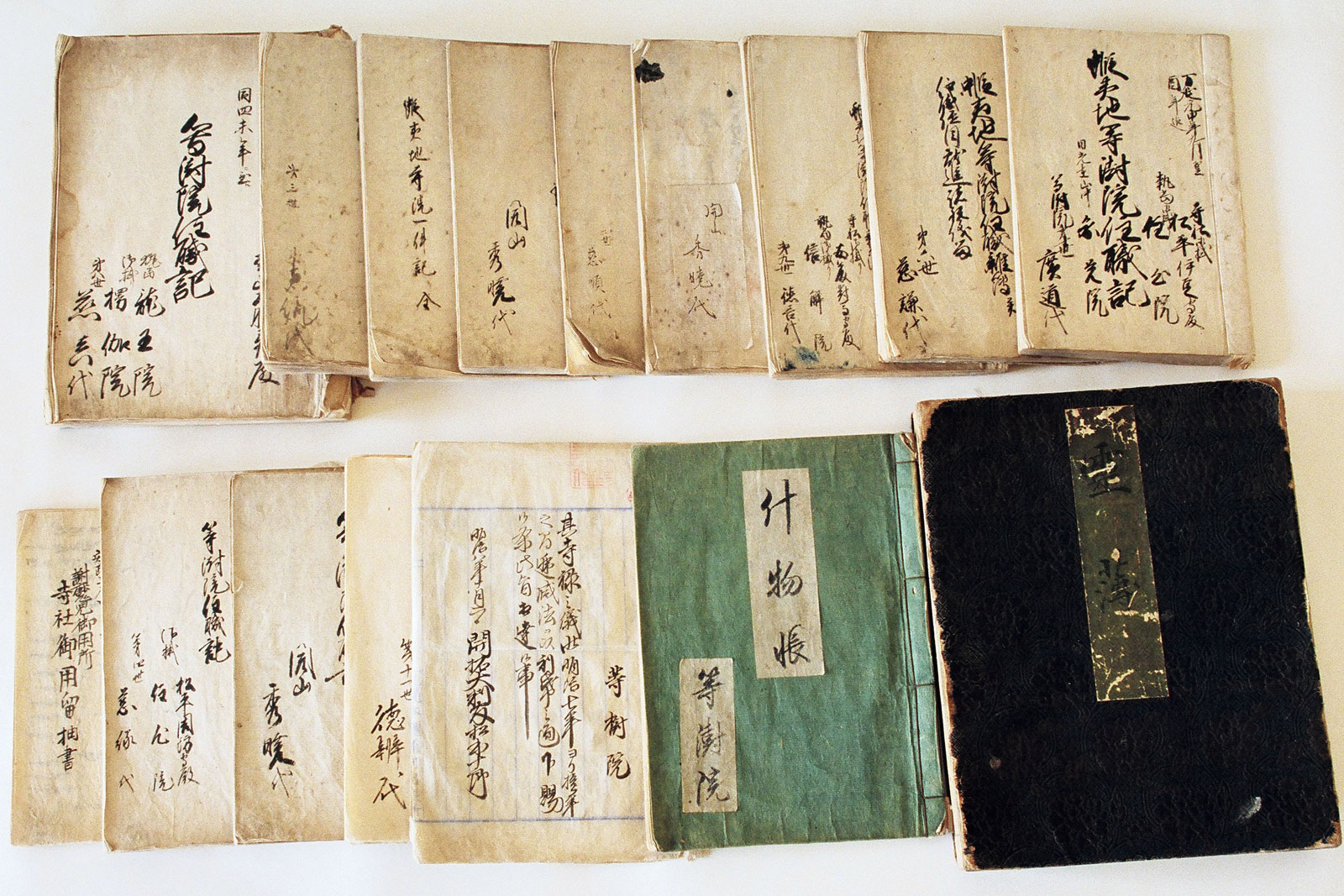
Tojuin Temple 等澍院
-
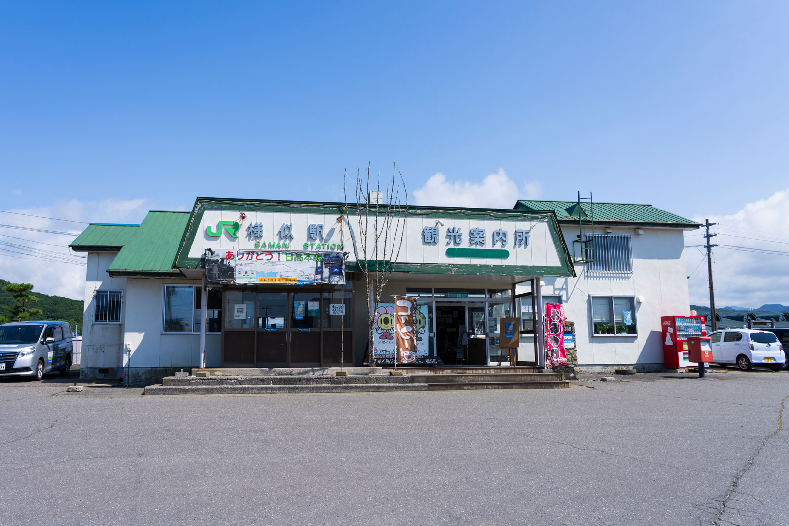
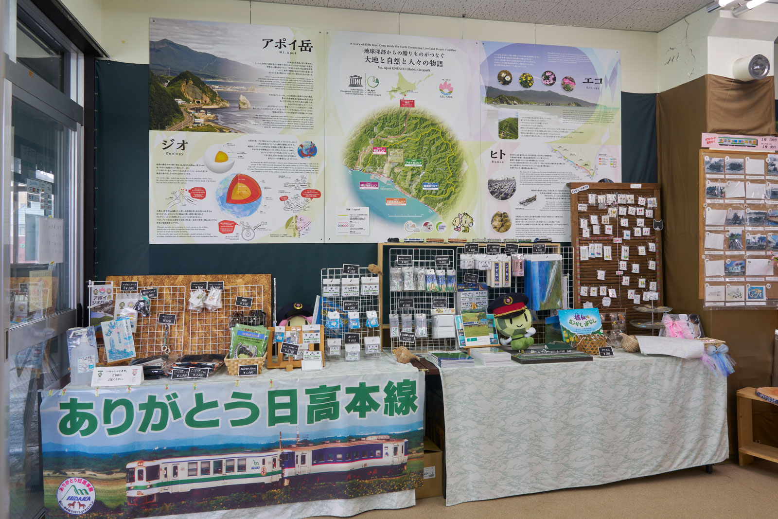
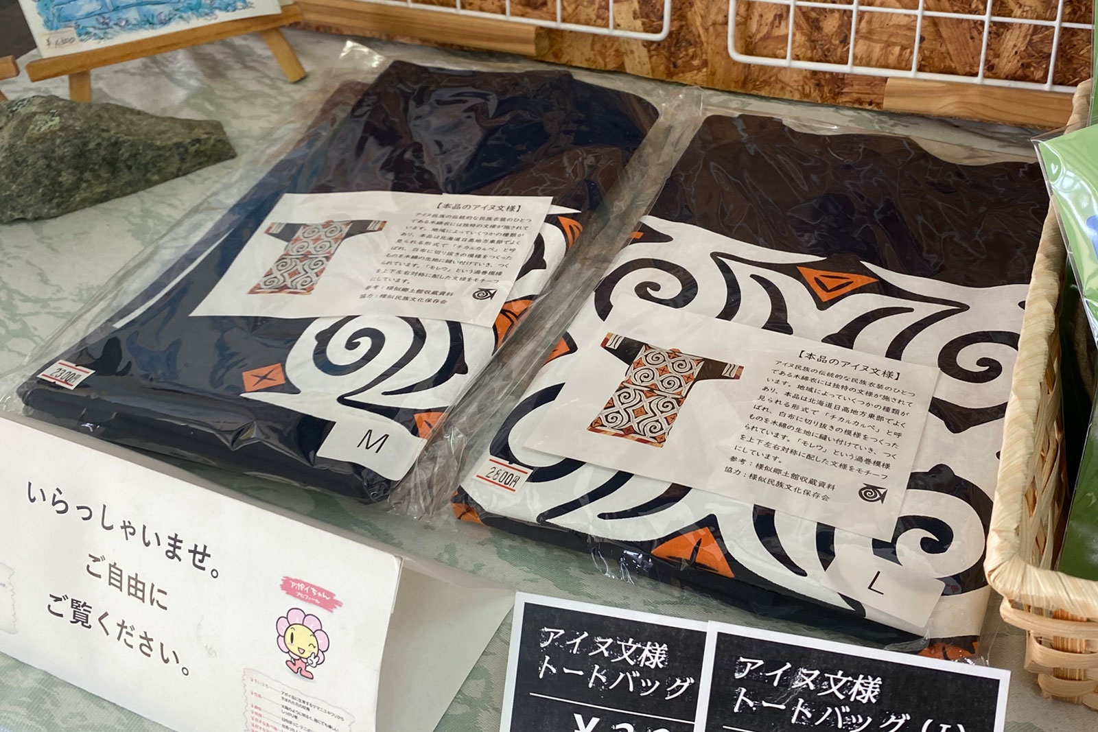
Samani Tourist Information Corner 様似観光案内所
-
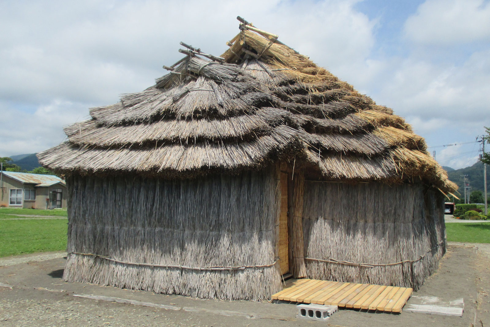
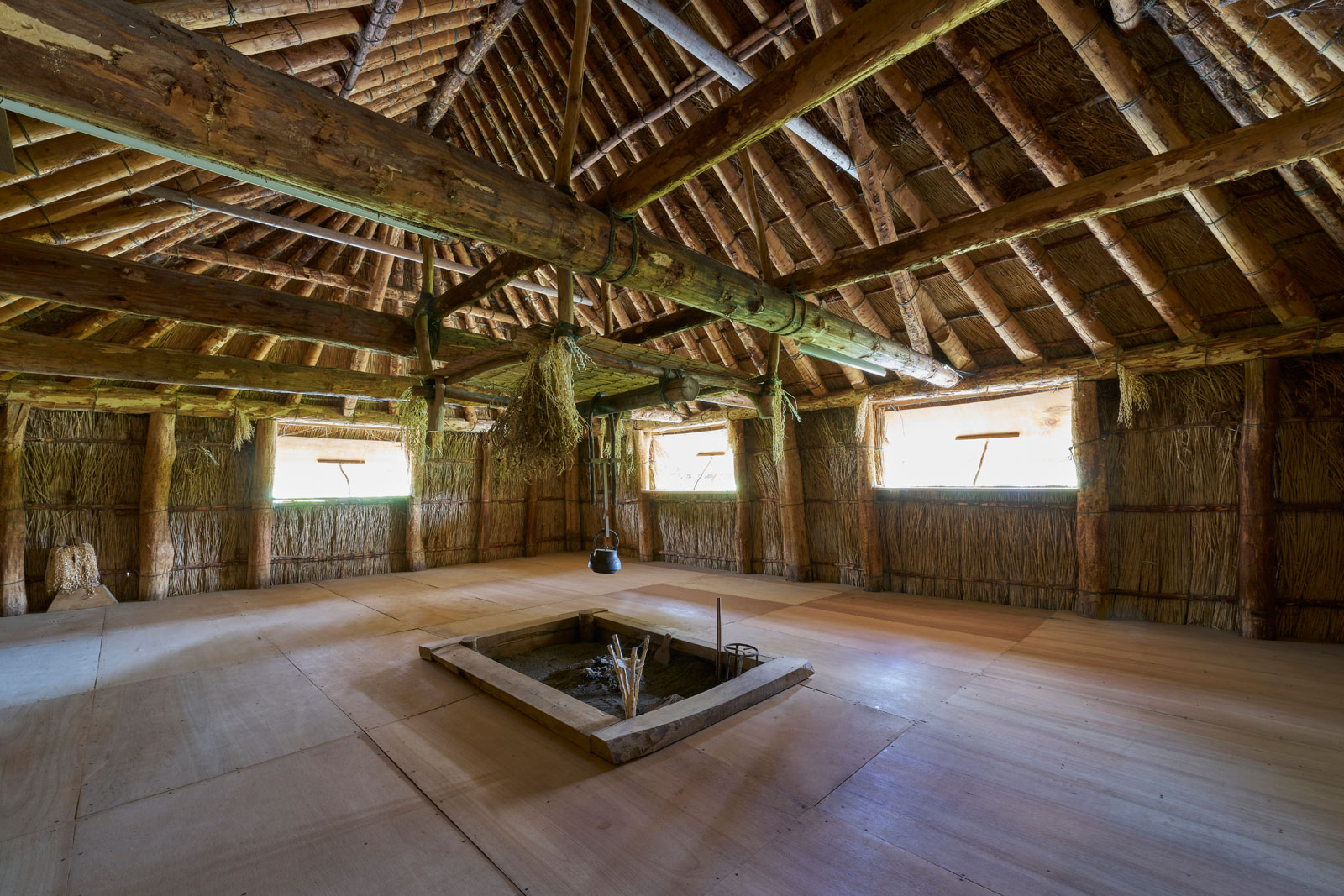
Cise of Okada 岡田のチセ
-
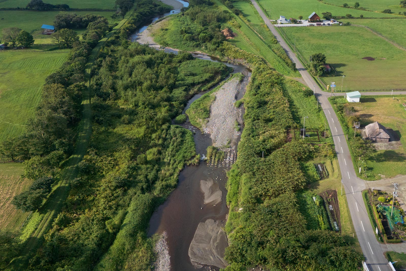
Samani River 様似川
-
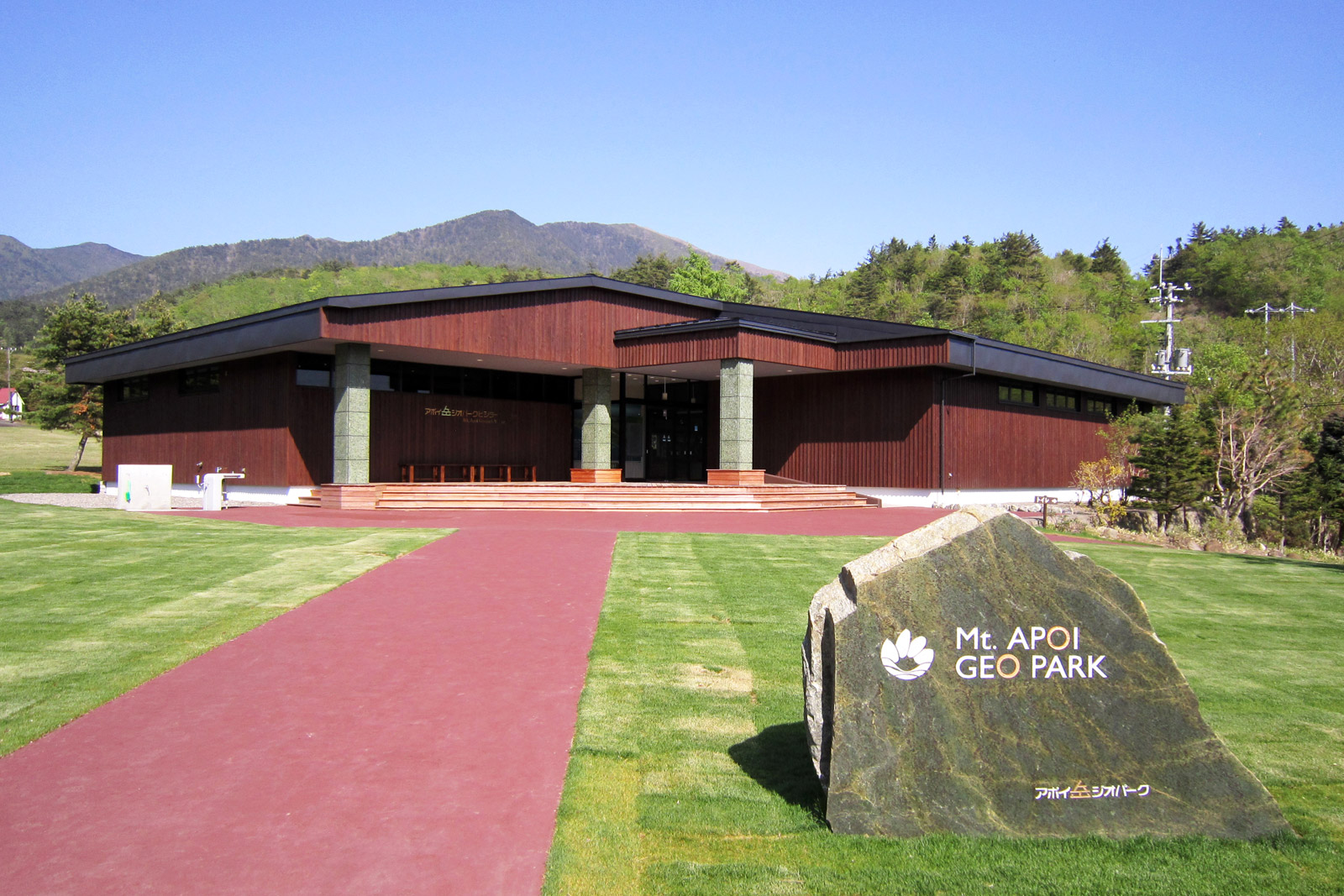
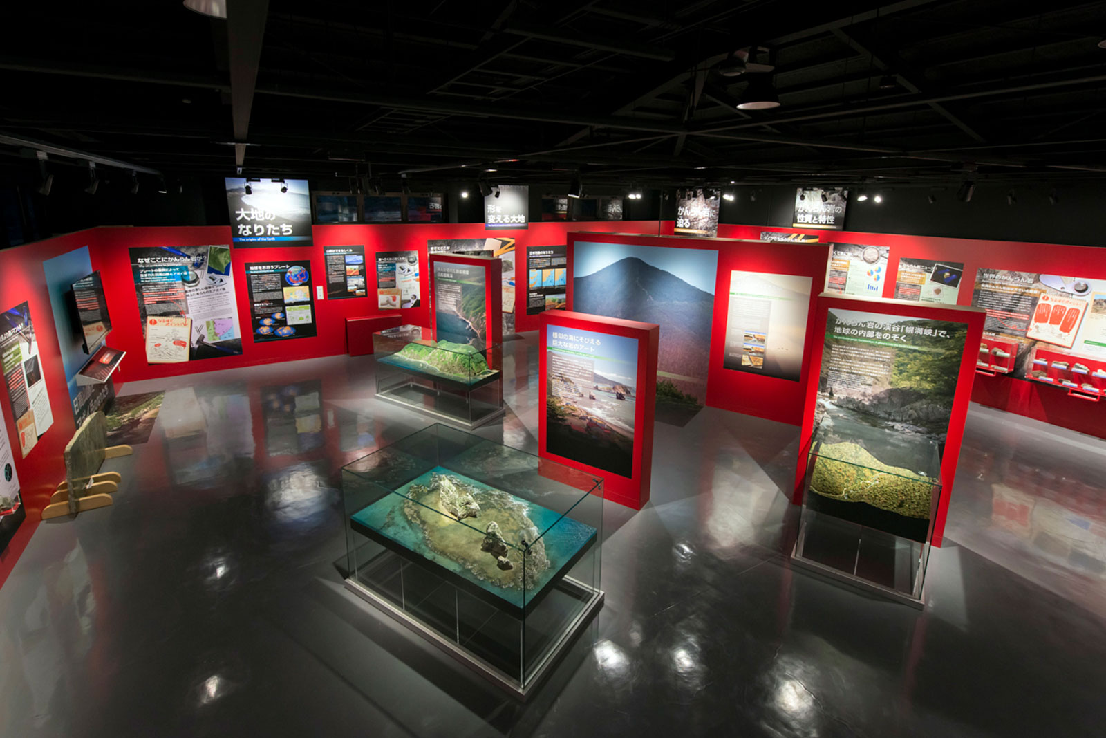
Mt. Apoi Geopark Visitor Center アポイ岳ジオパークビジターセンター
-
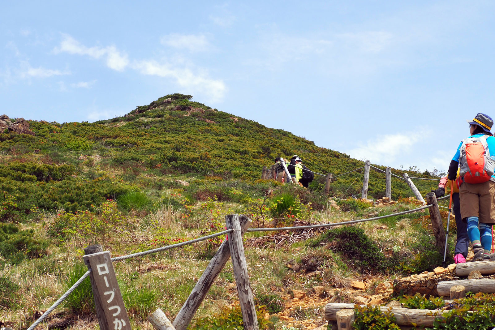
Mt. Apoi アポイ岳
-
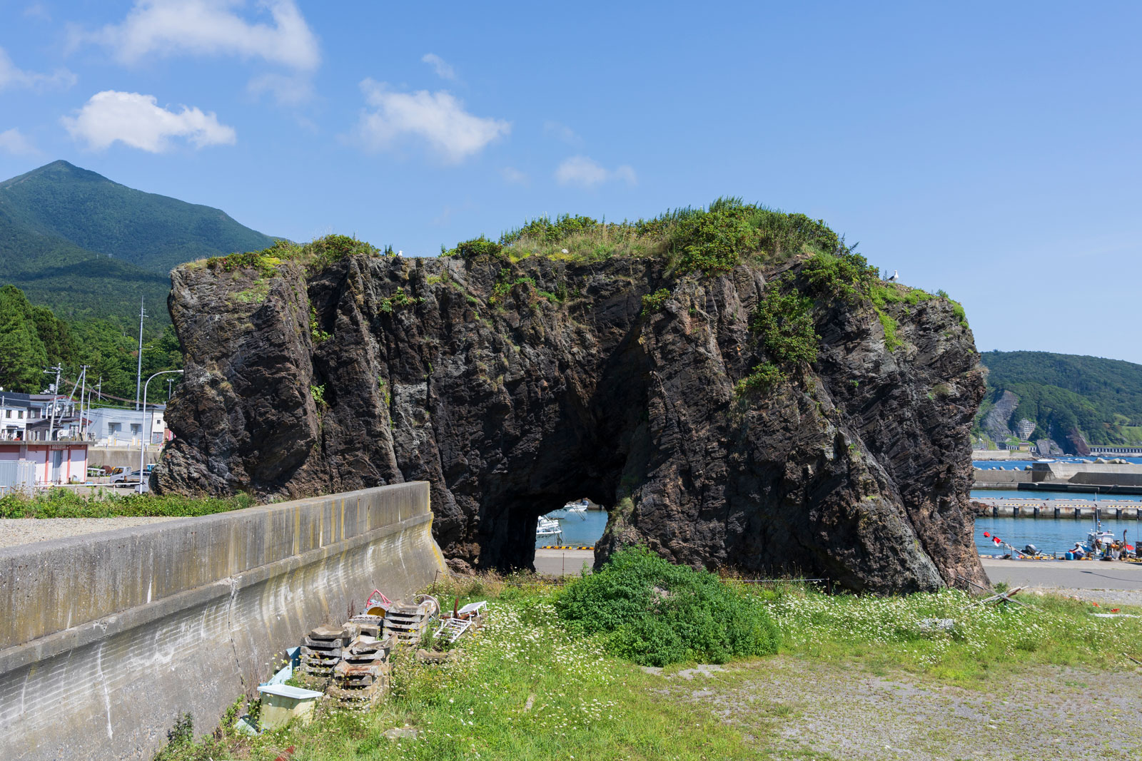
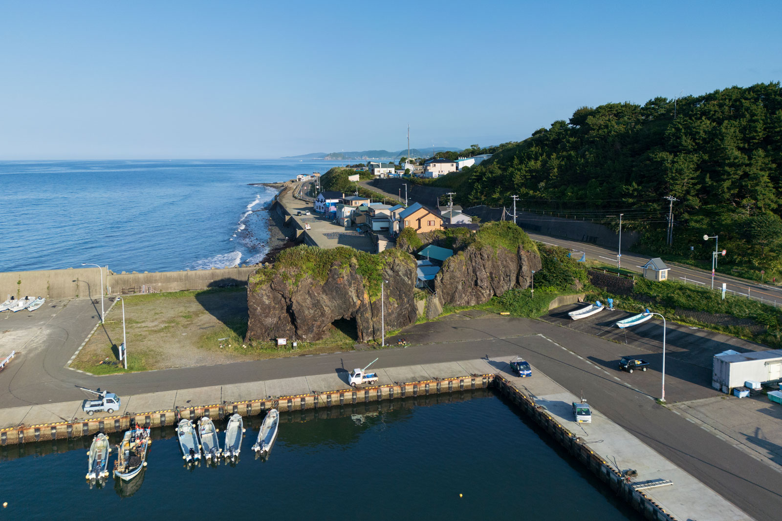
Fuyushima no ana-iwa (Hole Rock of Fuyushima) 冬島の穴岩
SAMANI Folk Museum 様似郷土館
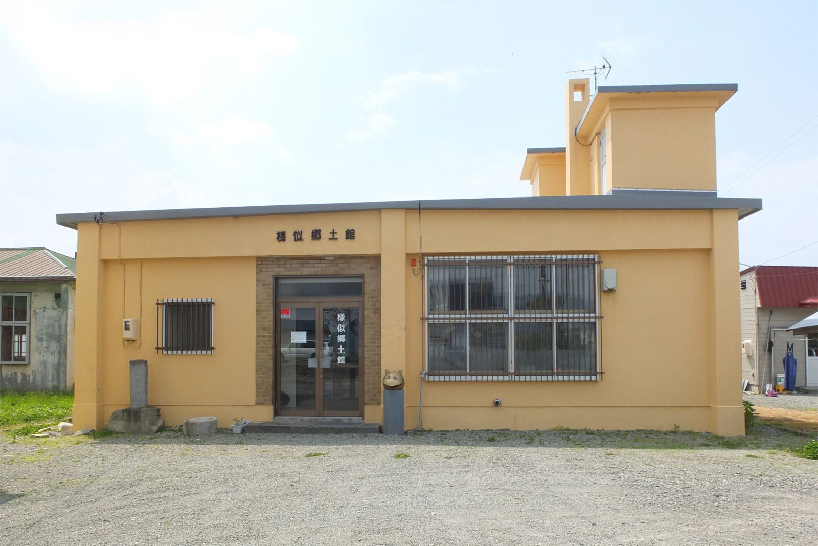
Park your car at Samani Folk Museum, then head to the next destination.
様似郷土館に車を停めて次へ
1 minute walk徒歩で1分
Former Site of the Kaisho (Shogunate Trade Office) 会所跡
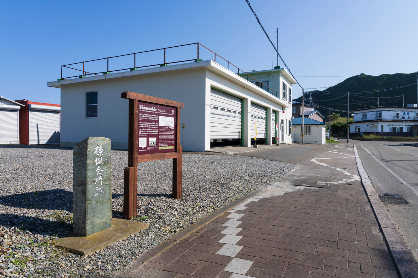
2 minutes by car車で2分
Enrumu-misaki (Cape Enrumu) エンルム岬
5 minutes by car車で5分
Sobira-iwa (Sobira Rock) ソビラ岩
3 minutes by car車で3分
Oyako-iwa (Parent and Child Rocks) 親子岩
2 minutes by car車で2分
Hotahumpe, Nishi-machi 西町のホタフンペ
5 minutes by car車で5分
Mt. Kannon Observatory 観音山展望台
1 minute walk徒歩で1分
Ruins of Kamuycasi カムイチャシ跡
3 minutes by car車で3分
Tojuin Temple 等澍院
5 minutes by car車で5分
Samani Tourist Information Corner 様似観光案内所
10 minutes by car車で10分
Cise of Okada 岡田のチセ
10 minutes by car車で10分
Samani River 様似川
20 minutes by car車で20分
Mt. Apoi Geopark Visitor Center アポイ岳ジオパークビジターセンター
2 minutes by car車で2分
Mt. Apoi アポイ岳
5 minutes by car車で5分
Fuyushima no ana-iwa (Hole Rock of Fuyushima) 冬島の穴岩
Goalゴール